


Click on any of the images for a much larger photo
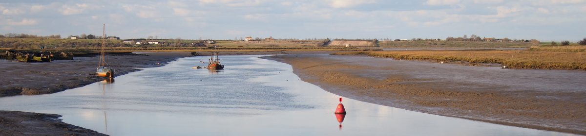
This is the Brière – an area of lakes and marshes a little inland from the France’s (or should I say Brittany’s) Atlantic seaboard.
Said to extend to 720 square kilometres, it’s a big area of marsh and water created by digging turf in much the same way as our own Norfolk Broads. However, it doesn’t have the long history of intensive exploitation by the holiday trade that is so apparent on the Broads – the big leisure activity here is wildfowling, and I guess that’s the purpose of the many hides.
The marshes are wild and empty – which makes them just lovely. (Click for a Google satellite image.) If you’ve ever wondered what the Broads would be like without the hire boats, the Brière is the best example I’ve yet thought of.
While there are no holiday cruisers, there small flat-bottomed canoes known as chalands that can be hired by the hour. They have almost no rocker and for seats they have thwarts high up in the boat, with the result is that they’re pretty tippy, and must be scary for holiday makers unused to canoes. They don’t paddle too well either – it’s no wonder that the locals use poles or outboards – but who cares? This is a fabulous place to be.
You don’t get any of the clear waymarking that the Broads has, and few clear waterways. The geezer who gives you your paddles also gives you his phone number because he half expects you to get lost, but that’s ok, for you will of course be rescued for a consideration.
He doesn’t explain how he’s going to find you in such an extensive labyrinth, however.
I gather the tradition is that the locals navigate by the churches, but our hirer gave me a satellite photo with suggested routes on it. I still became baffled after about half an hour and decided not to go too far: if you decide to spend a whole day on these empty marshes, I’d strongly suggest taking a smart phone with a GPS facility (and perhaps some spare batteries) so you can find your way using Google Maps.
You know you’re in a wild place when you see signs like the one above, which I found in an earth closet on an island in the marshes. As a freelance journalist, I naturally enjoyed the use of the word ‘commission’. And for our American friends, here’s a photo of a turkey that came to see me off…

